Ladakh · Summer 2025
Chumathang Plateaus Expedition — July 2025
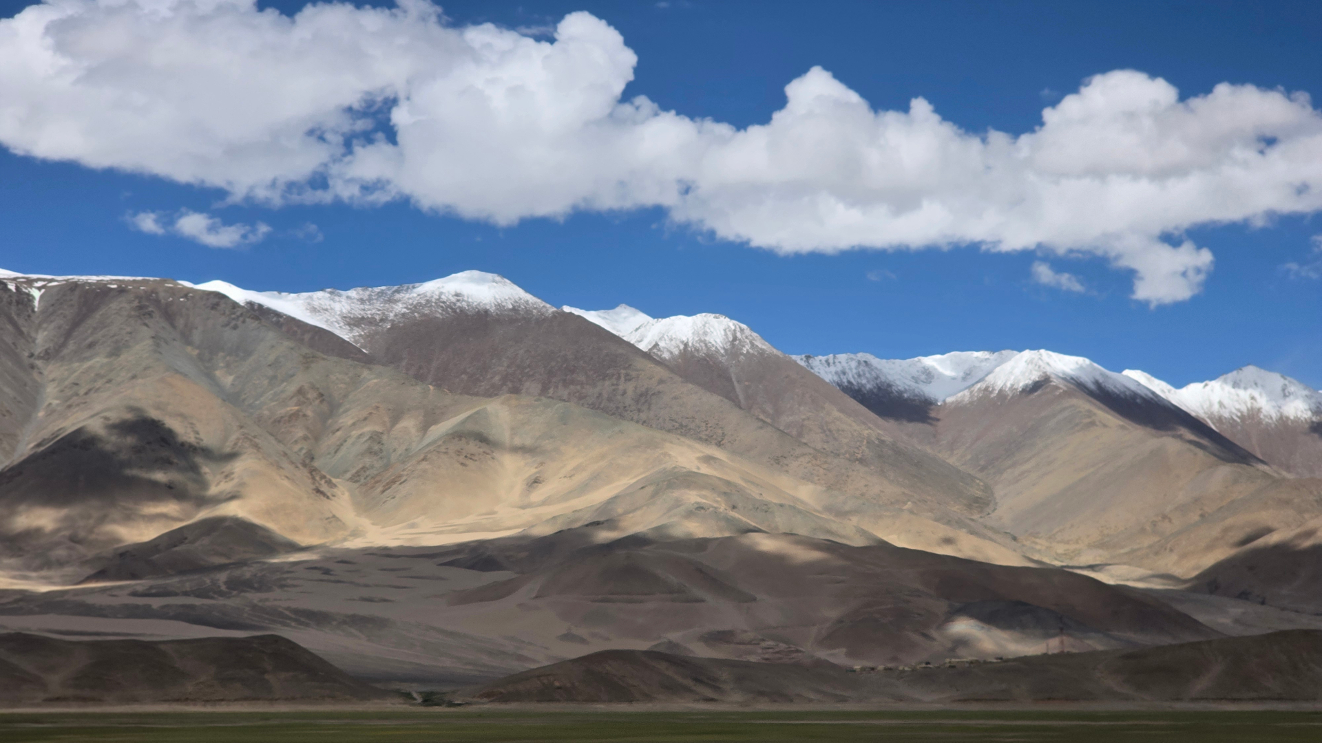
Six days on the eastern plateaus with the Indus for company. Wide, fast gravel, thin air the entire time and almost nothing between fuel stops. Two guests flew into Leh and needed a full extra acclimatisation day before we moved east.
By the numbers.
- Distance driven
- 640 km
- Time behind the wheel
- 28 hours
- Highest point · Taglang La
- 5,328 m
- Passes crossed
- 3
- Participants
- 10 guests
- Vehicles
- 4
- Crew on route
- 3
- Nationalities
- India, Australia
The line we drove.
Leh → Chumathang → Nyoma → Hanle → Tso Moriri → Tso Kar → Leh
- 01
Leh (3,500 m)
- 02
Chumathang (4,050 m)
- 03
Nyoma (4,120 m)
- 04
Hanle (4,500 m)
- 05
Tso Moriri (4,522 m)
- 06
Tso Kar (4,530 m)
- 07
Taglang La (5,328 m)
Departure dates
- This report
What the mountain gave us.
Weather summary
Fierce sun, thin air, sharp temperature swing after dusk.
- Afternoon plateau wind from 14:00 daily, gusting 40 km/h at Tso Kar
- Two short dust storms between Nyoma and Loma
- No cloud cover of consequence for the entire six days
- Daytime range
- +18 to +26 °C
- Night range
- −1 to +5 °C
Everything that stopped us.
| Day | Location | Issue | Action taken | Downtime |
|---|---|---|---|---|
| Day 03 | Loma–Hanle plain | Soft-sand bog on a braided track section. | Deflation to 15 psi and a short strap pull from the second vehicle. | 25 min |
| Day 05 | Tso Kar basin | Overheating alarm on a petrol vehicle after a long low-gear climb. | Twenty-minute cool-down, coolant topped up, no recurrence. | 35 min |
From the lead vehicle.
Logged by
Expedition Desk, Rohru
Lead vehicle & route control
- 01
Nobody sleeps below 4,000 m from Day 2 onward. That makes the Leh acclimatisation days non-negotiable, not optional.
- 02
The Chumathang hot springs are best in the first hour after arrival, before the plateau wind picks up.
- 03
Fuel at Nyoma is not reliable. We fill at Leh and carry jerricans for the Hanle loop, every single time.
- 04
Tso Kar to Taglang La is the most demanding climb of the route. We run it first thing in the morning with cold engines and full coolant.
Frames from the log.
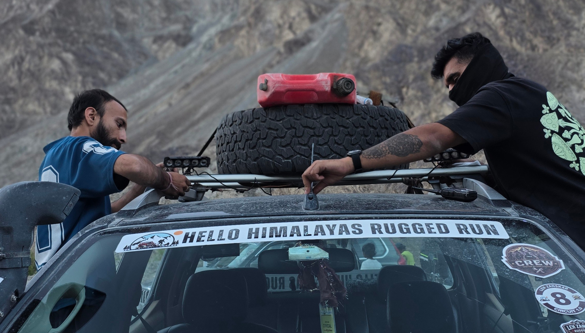
Chumathang, Day 02 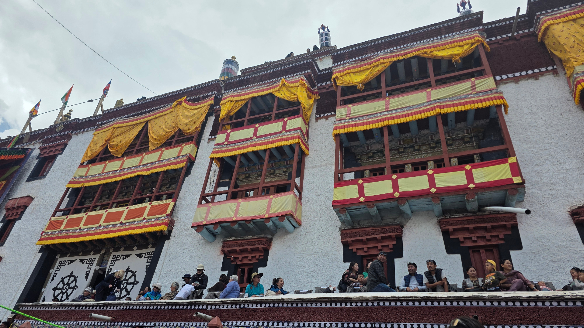
Tso Moriri approach, Day 04 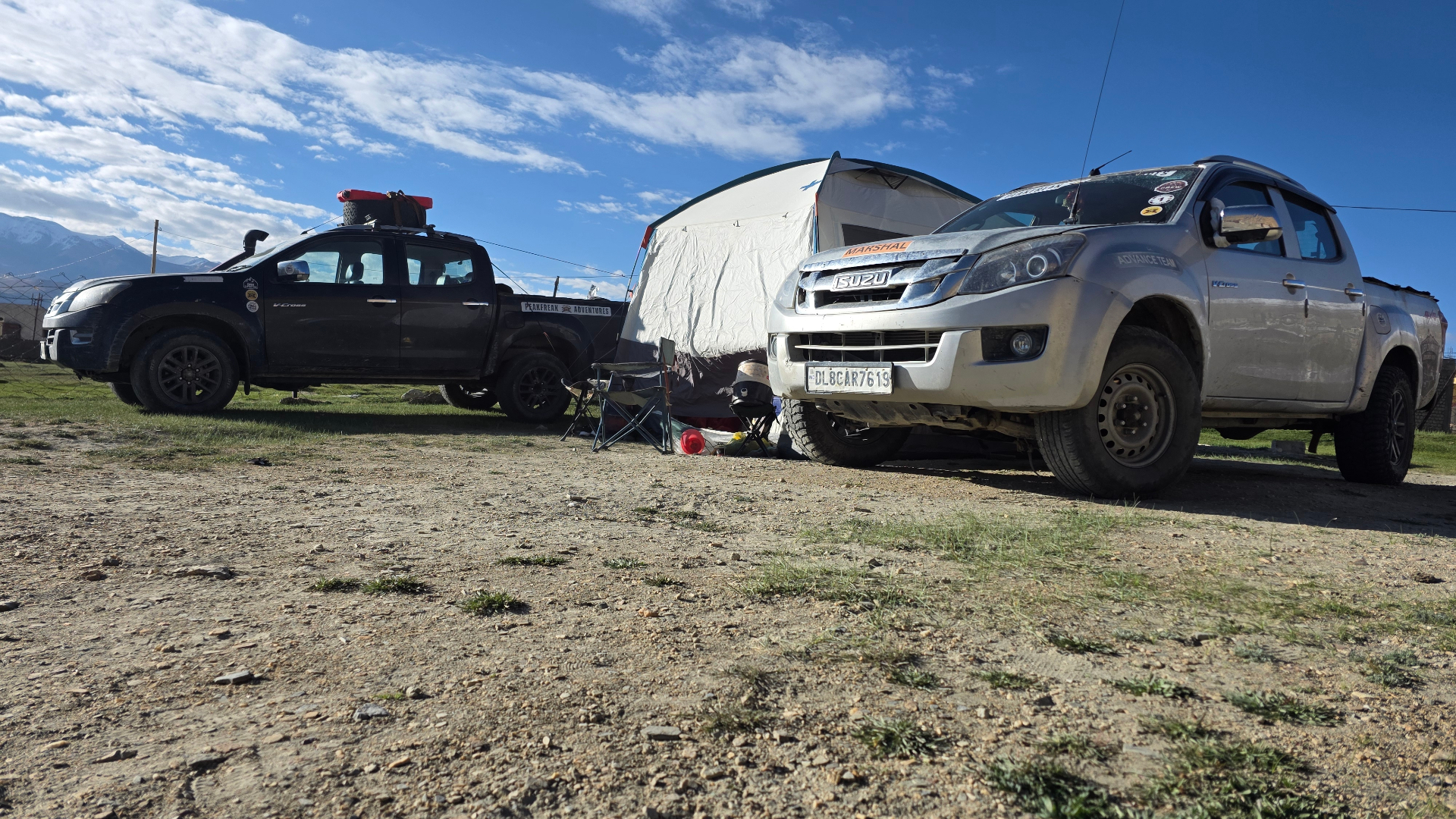
Tso Kar, Day 05
Watch the route
as it ran.
Footage shot on this departure by the crew and guests.
Chumathang Plateaus — Expedition Film
What they said after.
Average 4.5 / 5 from 2 verified participants
Silence you can hear
Hanle and Tso Kar were otherworldly. The crew paced the altitude carefully and nobody in our group had a bad night.
Meera Subramanian · Chennai ·
Superb route, bring layers
The plateau wind after 2pm is no joke. Everything else was well organised and the hot springs at Chumathang were a genuine surprise.
Daniel Okafor · Sydney ·
Take the report
with you.
One page: route, distances, altitude, weather, recovery log and guide notes — formatted for printing or sharing with the people you are travelling with.
Other departures
we logged.
- Read the report
Ladakh & Zanskar · Summer 2025
Trans Himalayan Expedition — August 2025
Eleven days, six 4x4s and eighteen people from Manali to Hanle and back down through Tso Moriri. A dry August meant the Zanskar crossings were unusually kind, but the Shinku La approach still handed us two water crossings above knee depth and a full day of graded gravel.
- Read the report
Spiti Valley · Summer 2025
Summer Spiti Circuit — June 2025
The first full-circuit run of the season. Kunzum La opened five days before we rolled, so Chandratal was still ringed with old snow and the Batal stretch was pure meltwater. Eight days, twelve guests, four vehicles, no missed nights.
- Read the report
Spiti Valley · Winter 2026
Winter Spiti Expedition — February 2026
Nine days into the cold desert with Kunzum La shut and Kinnaur as the only way in. Coldest recorded night was −27°C at Langza. Two vehicles ran studded tyres, all six carried chains, and we used them on four separate stretches.